
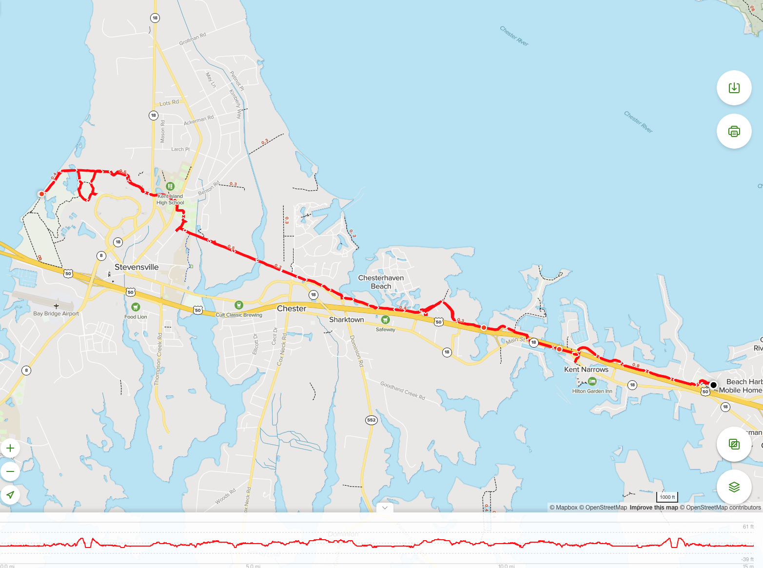
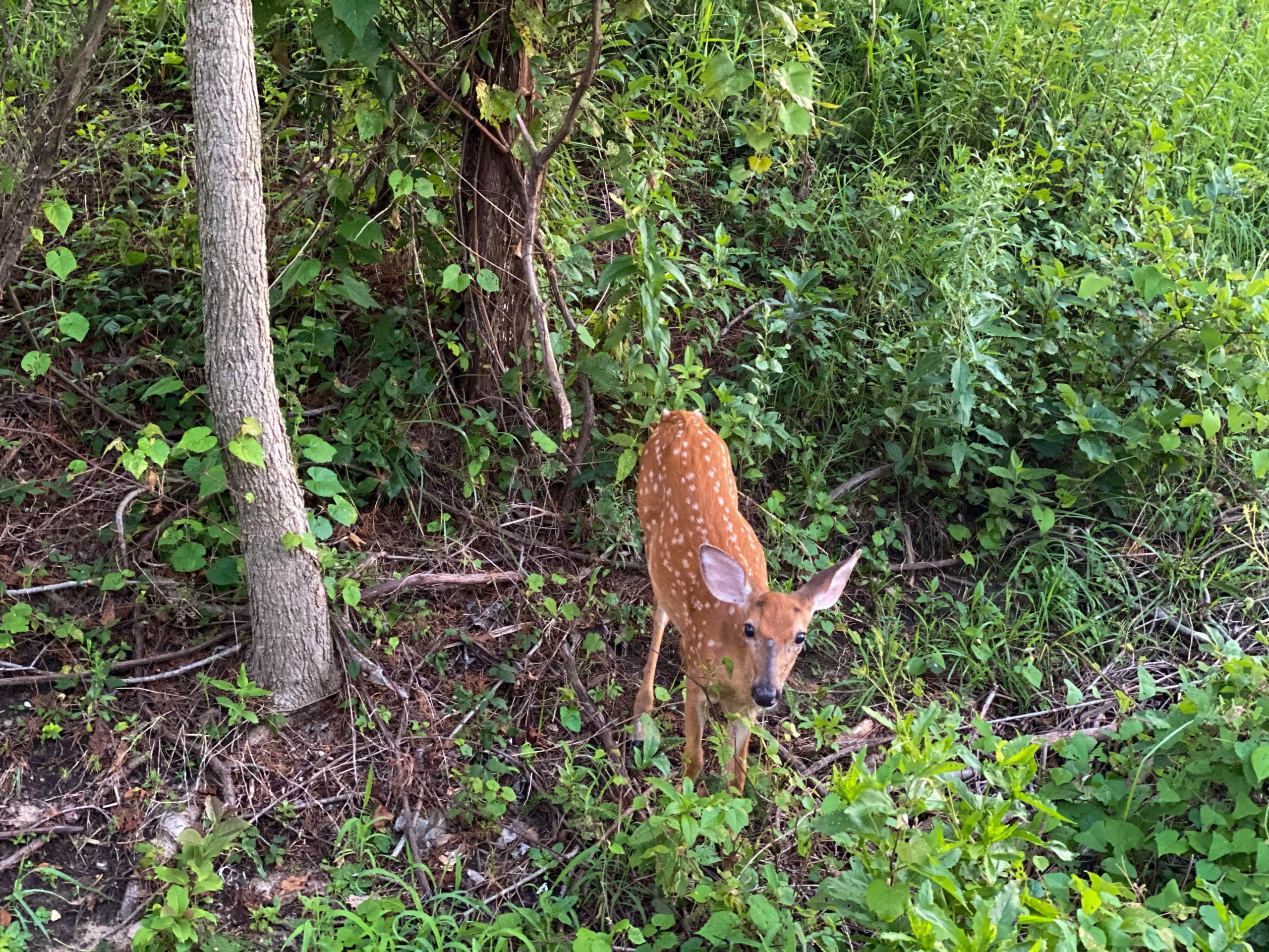
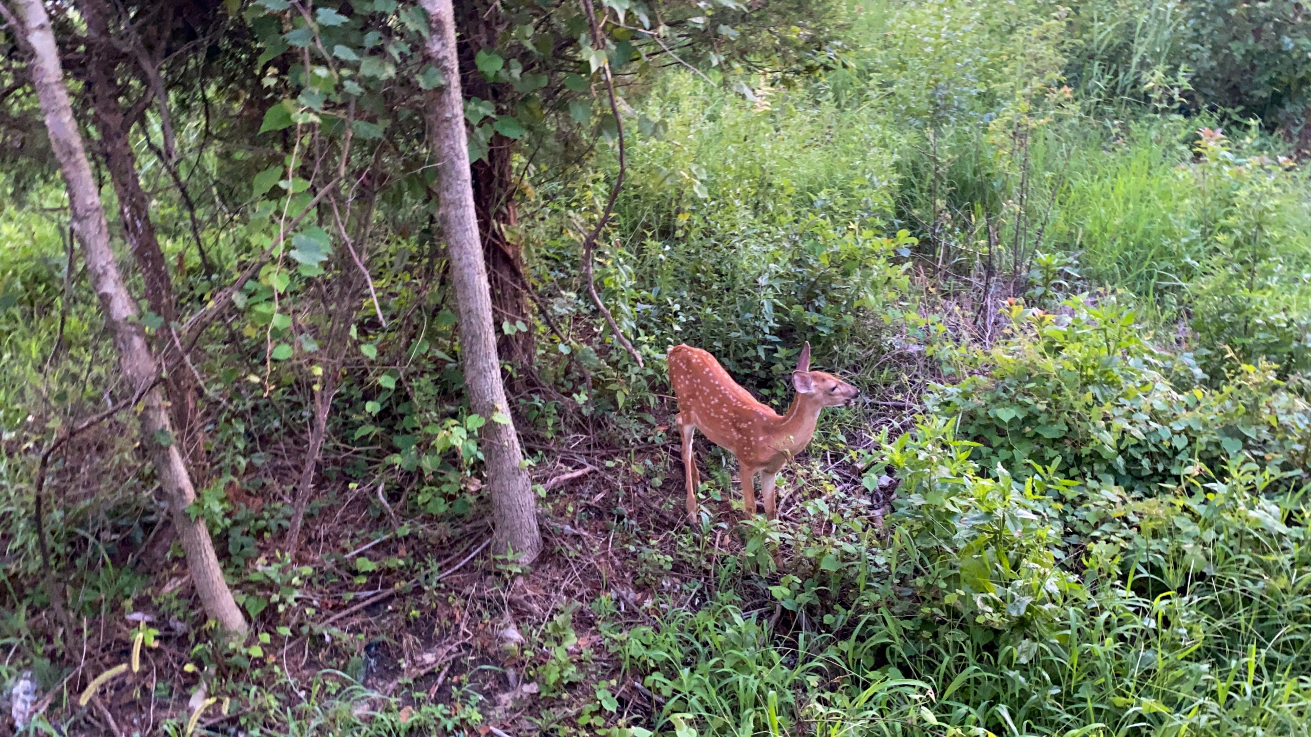
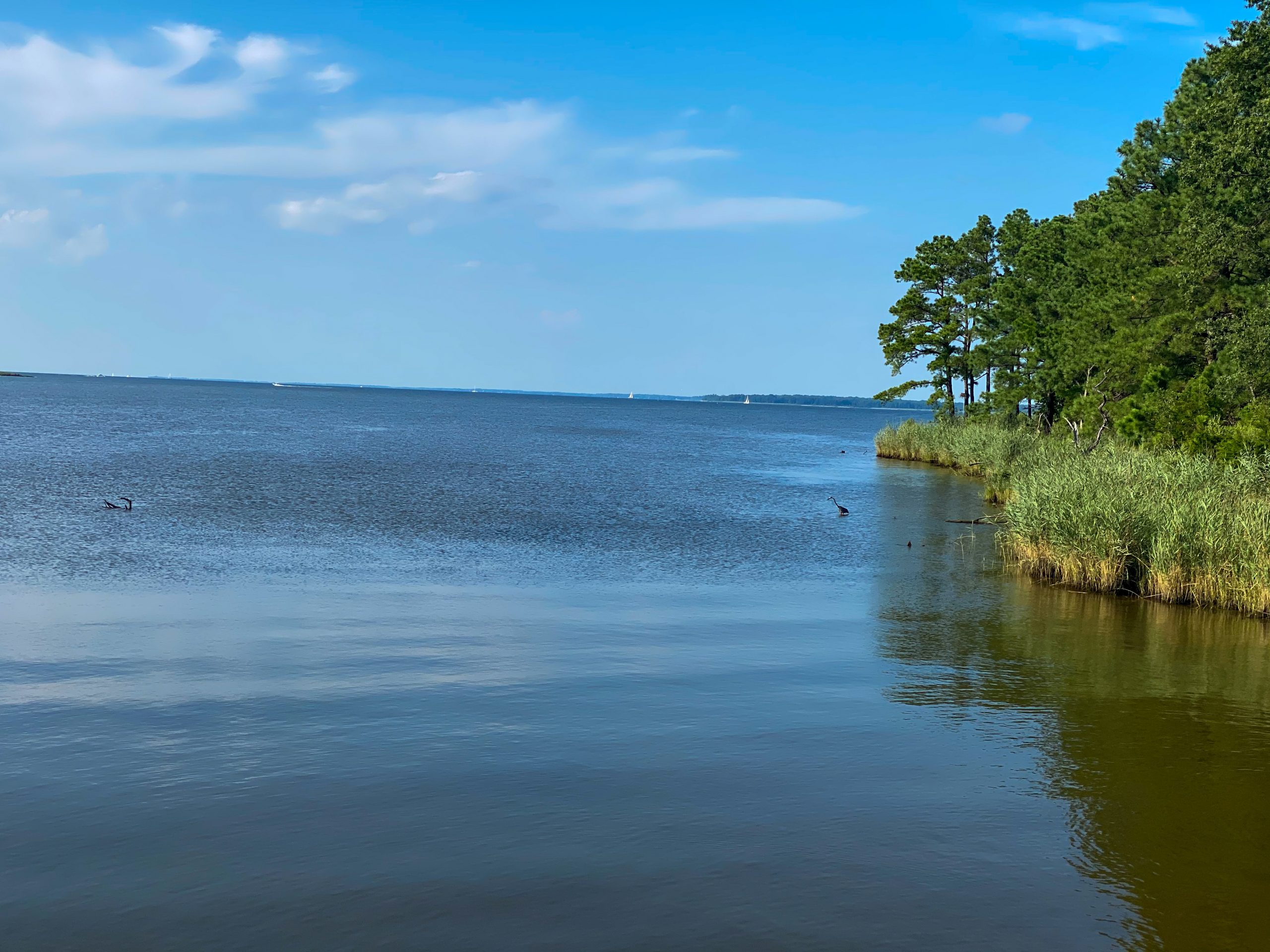
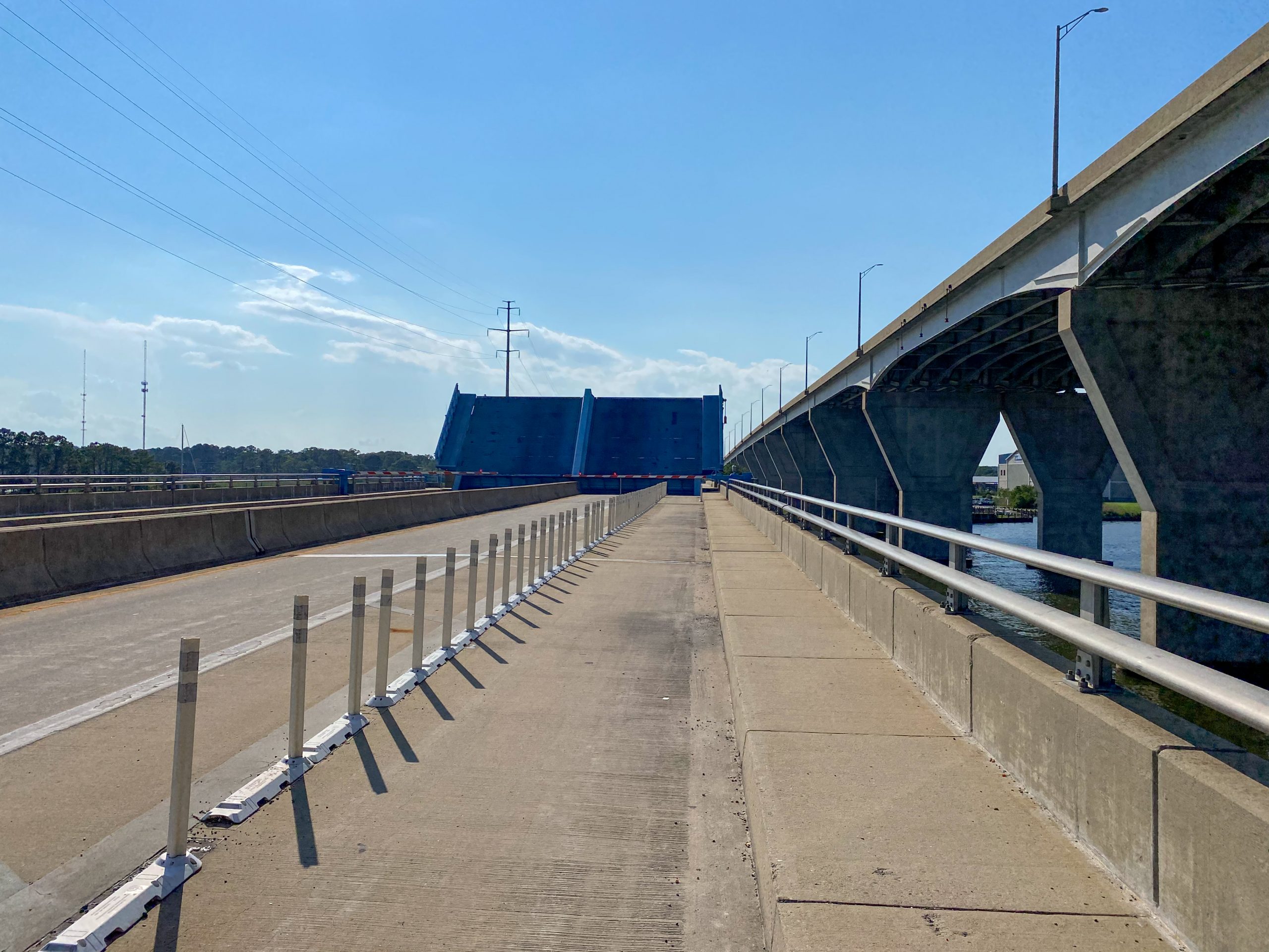
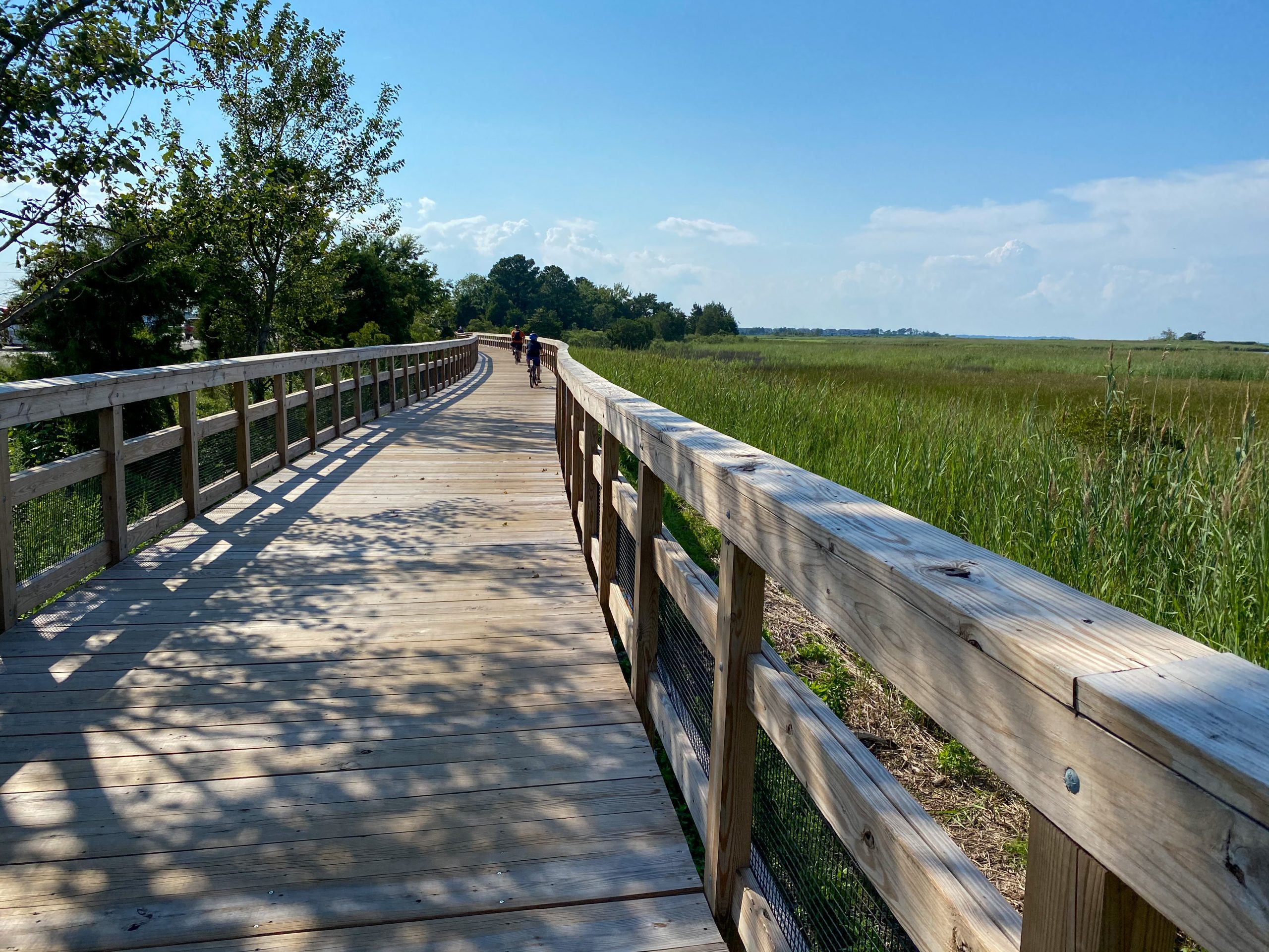
This bike ride was performed by one of the Pack 802 families in the Summer of 2020. The Cross Island Trail is a paved path that crosses Kent Island in Queen Anne’s County, MD. We performed an out and back ride of the entire trail starting and ending at the Eastern terminus within Long Point Park. There are only about a dozen parking spots in this park located on both sides of the park, so if it is full consider the several alternative parking areas listed at right and described below. After leaving Long Point Park the trail quickly turns from paved sidewalk to a wooden boardwalk that runs along the marshy Northern shore of Kent Island. Despite the trails proximity to the Bay Bridge and a busy highway, we saw several signs of wildlife during this early portion of the trail including numerous shore birds and a fawn. After approximately 1 mile the trail takes a short departure from the island edge and requires riders to follow a paved sidewalk to gain access to the Kent Narrows Draw Bridge along Main Street. The shoulder on the bridge is extremely generous and includes a divider between the bike lane and traffic lanes. If you wold like to avoid having to do the brief climb to cross the bridge or are uncomfortable taking a group of scouts on the bridge, a good alternate parking area that is relatively close to this end of the trail is the Kent Narrows public boat ramp lot located under the highway 50/301 bridge. This parking lot cuts about 1 mile off the Eastern end of the ride but may be more accessible for a group of younger scouts.
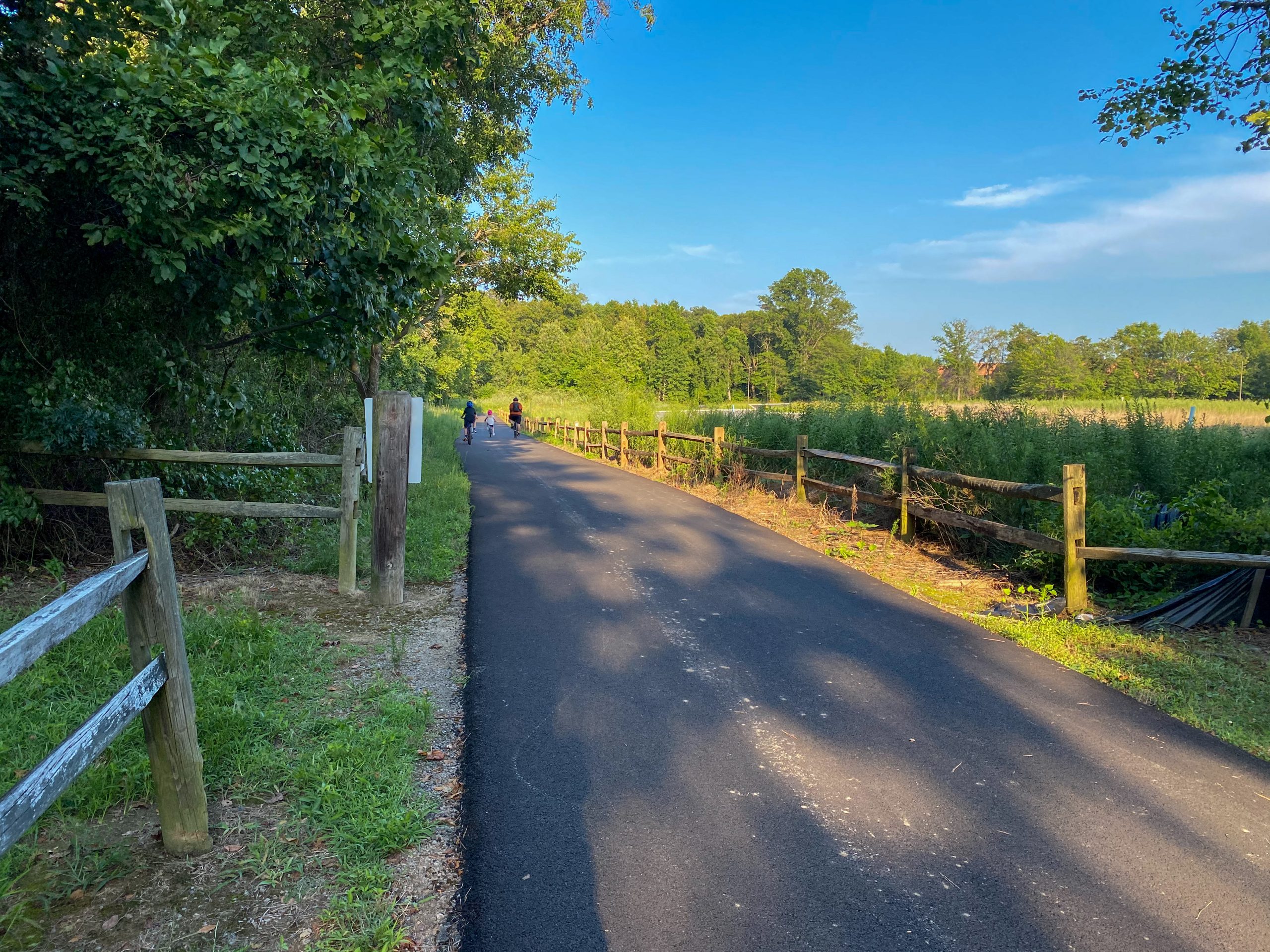
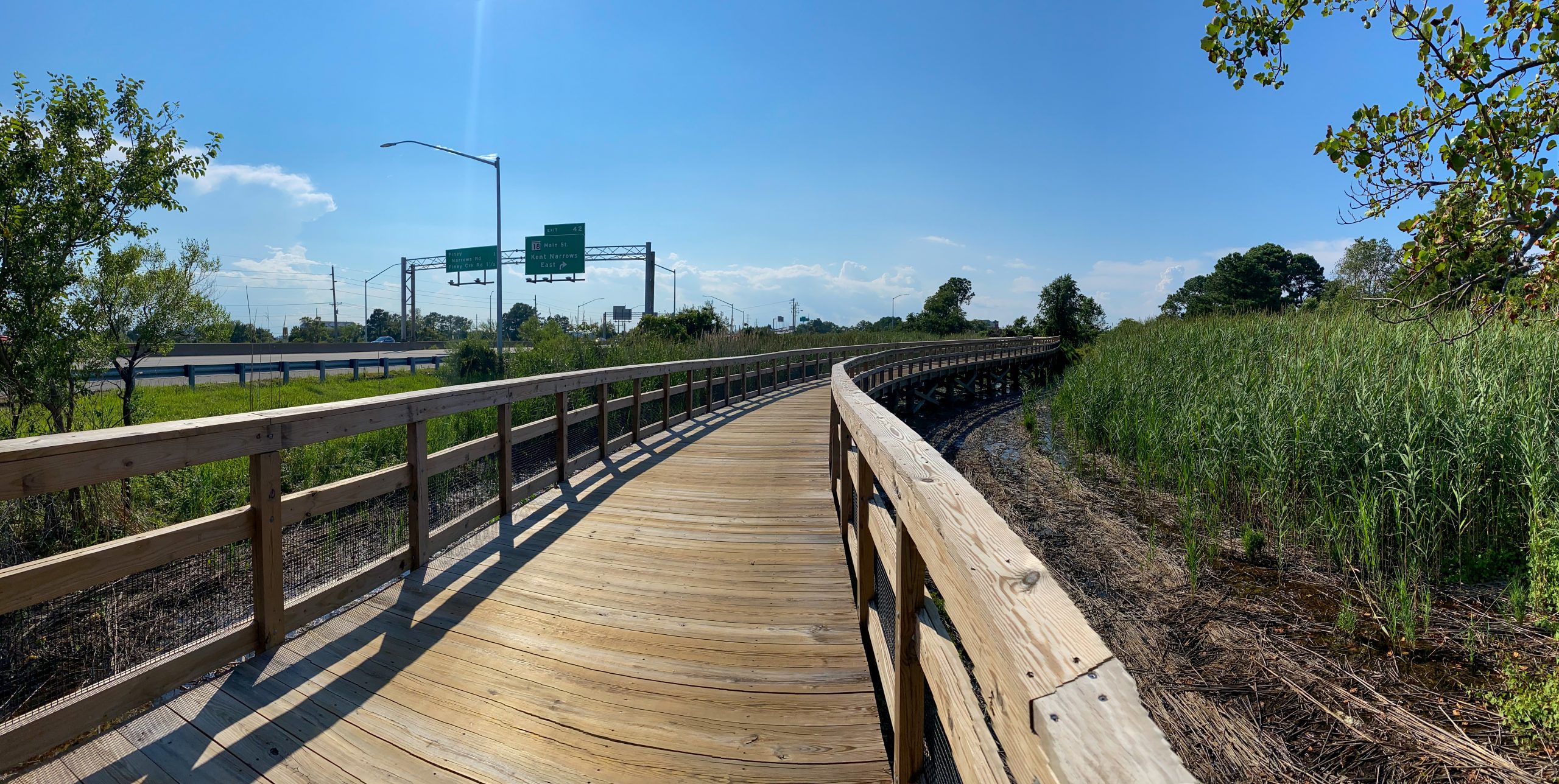
Following Kent Narrows, the trail briefly follows a paved path that runs around a large marina and some other business developments before turning into a predominantly quiet trail in a wooded environment. The views of the waterfront are not as prevalent in this section of the trail but the wooded scenery and the shade provided by the trees is a welcome relief from the hot summer sun.
An alternative recommendation for starting this ride closer to the Western terminus of the trail is the Old Love Point Park in Stevensville, MD or the adjacent Kent Island High School. This portion of the trail runs along several large parking lots at the park and school respectively and also provides public restroom facilities that may be needed after a long drive to get to the trail head. During our trip the water fountains at the park were turned off, likely as a result of COVID-19, but in better times there should be water available at this location as well.
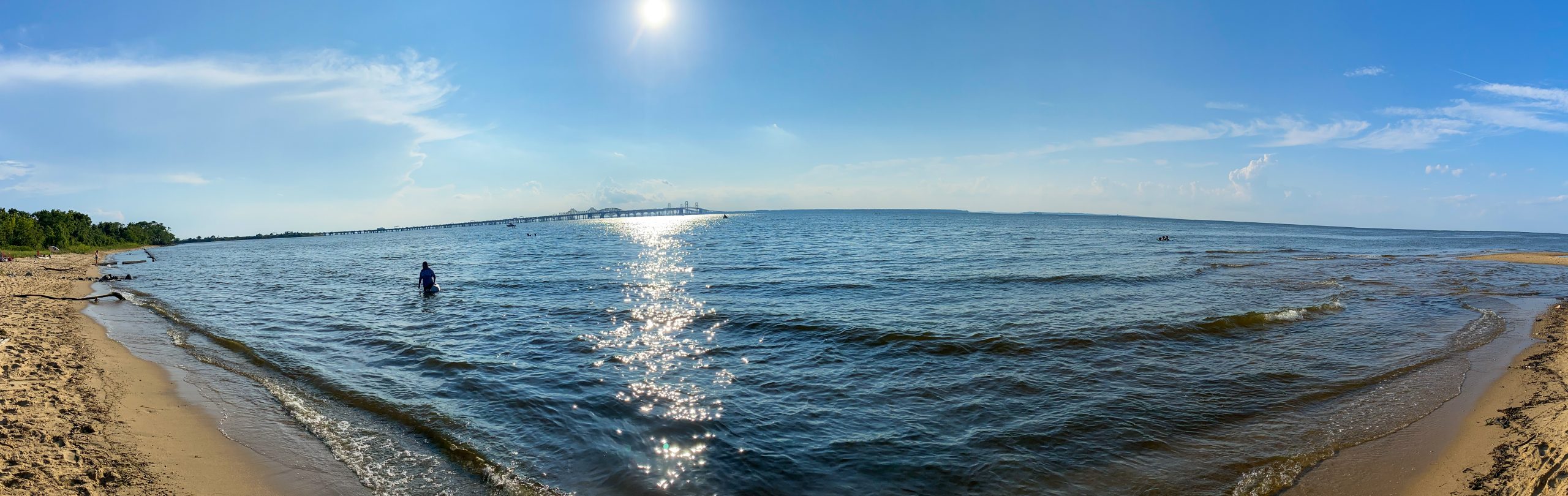
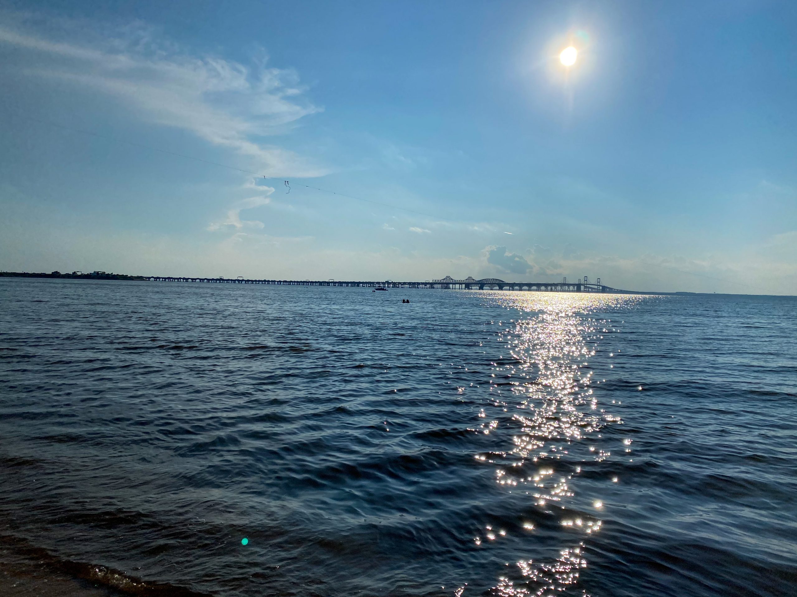
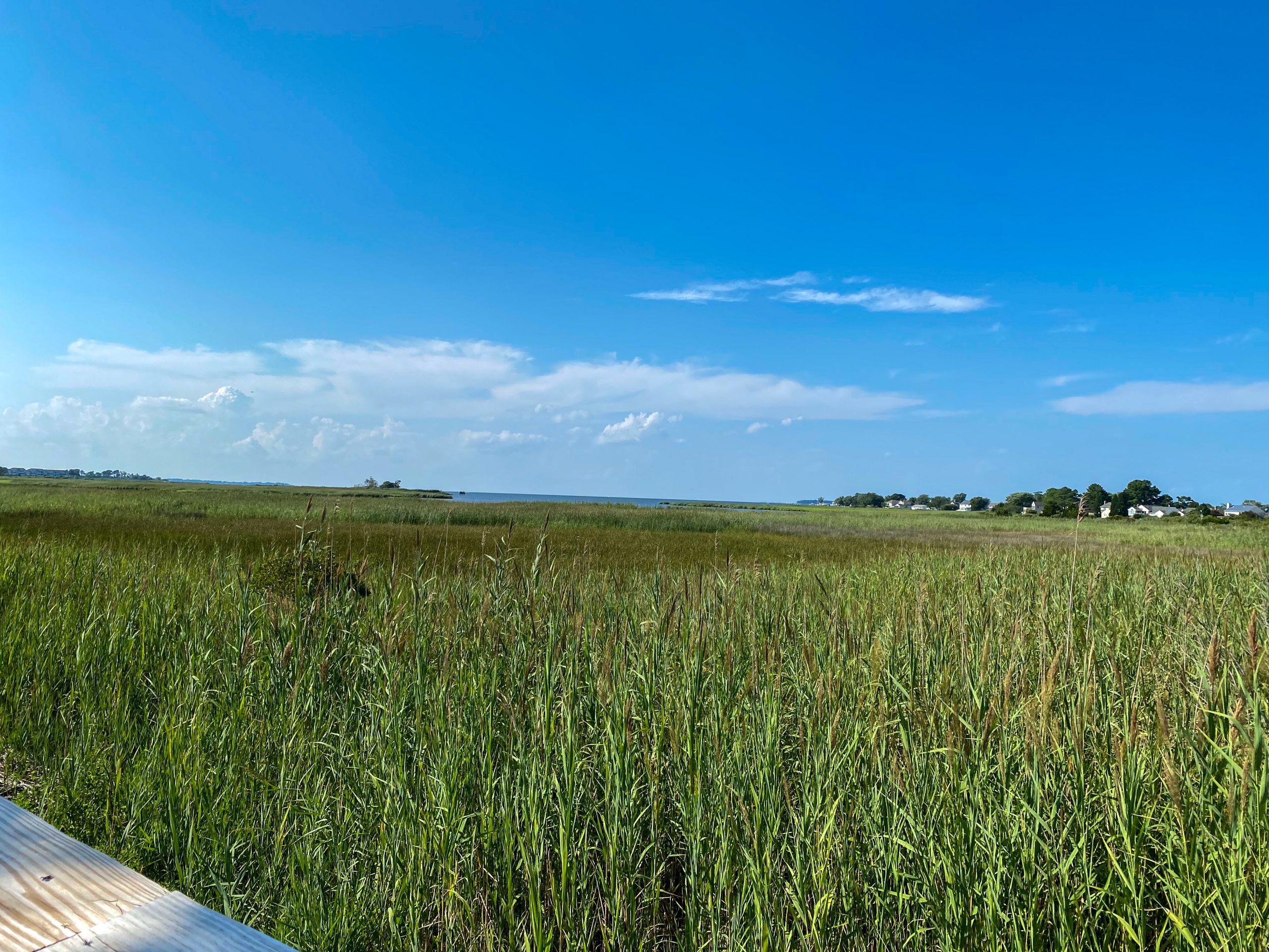
From the Old Love Park, the trail continues approximately 1.5 additional miles to end within the Terrapin Nature Park. Additional parking is available at the nature park but it was signficantly busier than lots at Old Love Park. There is beach access at the nature park so several families visit there to wade and fish in the bay during the summer. For all but the skinniest road bike tires it is possible to continue along the beach access trails by bike to get within a few hundred feet of the beach. One of the highlights of the beach are the views to the North into the Chesapeake Bay and of the Bay Bridge to the South West.
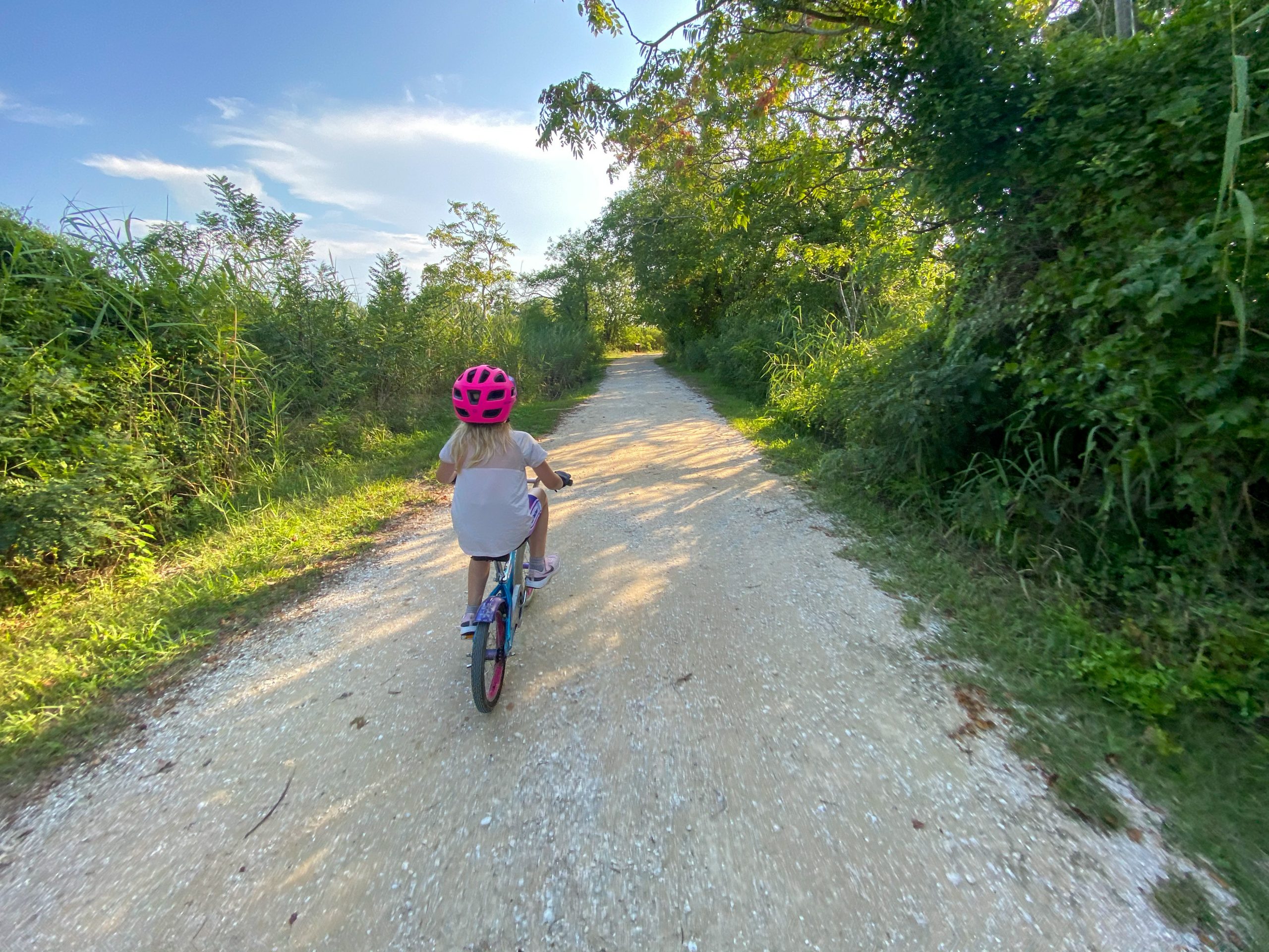
Overall this was a great ride for my family and worth the drive from Harford County, MD. My daughter had just learned to ride her bike a few weeks prior to this trip and she was able to complete the entire trail on a single speed bike with occasional rest stops built in. The trail has a few minor street crossings along the route to watch out for, but otherwise offers a safe, flat, paved riding experience that is suitable for all rider levels and includes a good mix of bay scenery. This route is also perfectly suited for tow-behind bike trailers of the one or two wheel variety. While I normally prefer hiking on non-paved trails, this trail system would also be well suited for shorter group hikes to explore either end and is appropriate for kids in strollers. If I were to do this ride again with a larger group of scouts, I would park at the Old Love Park Lot for its convenience and access to restroom facilities.