
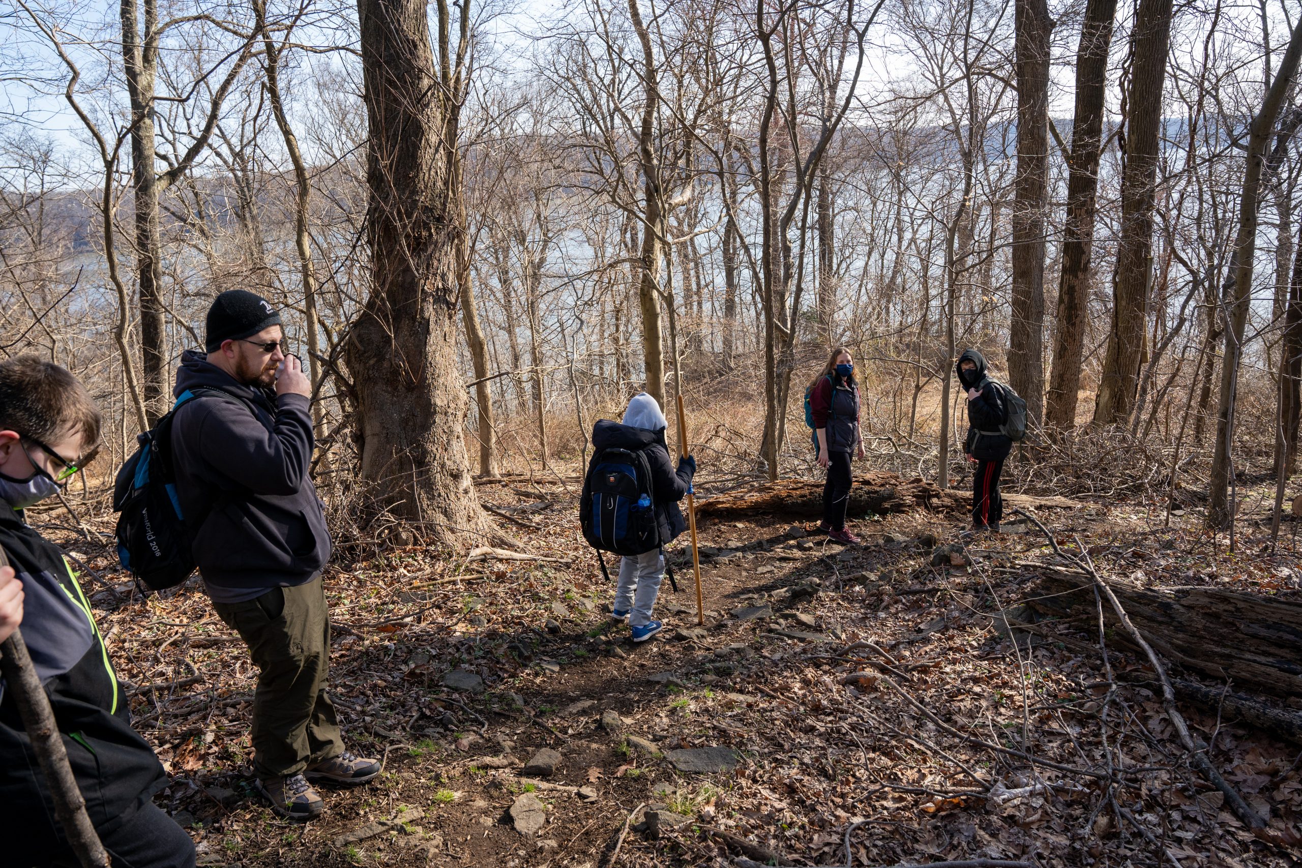
This hike was performed by Pack 802 Arrow of Light scouts in March 2021 as a final Cub Scout event before crossing over to Scouts BSA. The scouts participated in an AOL crossover ceremony the night prior and planned this longer 10+ mile hike to be a culminating event of their Cub Scout experience and a head start for Scouts BSA. Several of the scouts discussed the plans for this hike with their new scoutmaster and received permission to use it as one of the three required 10-mile hikes for the hiking merit badge.
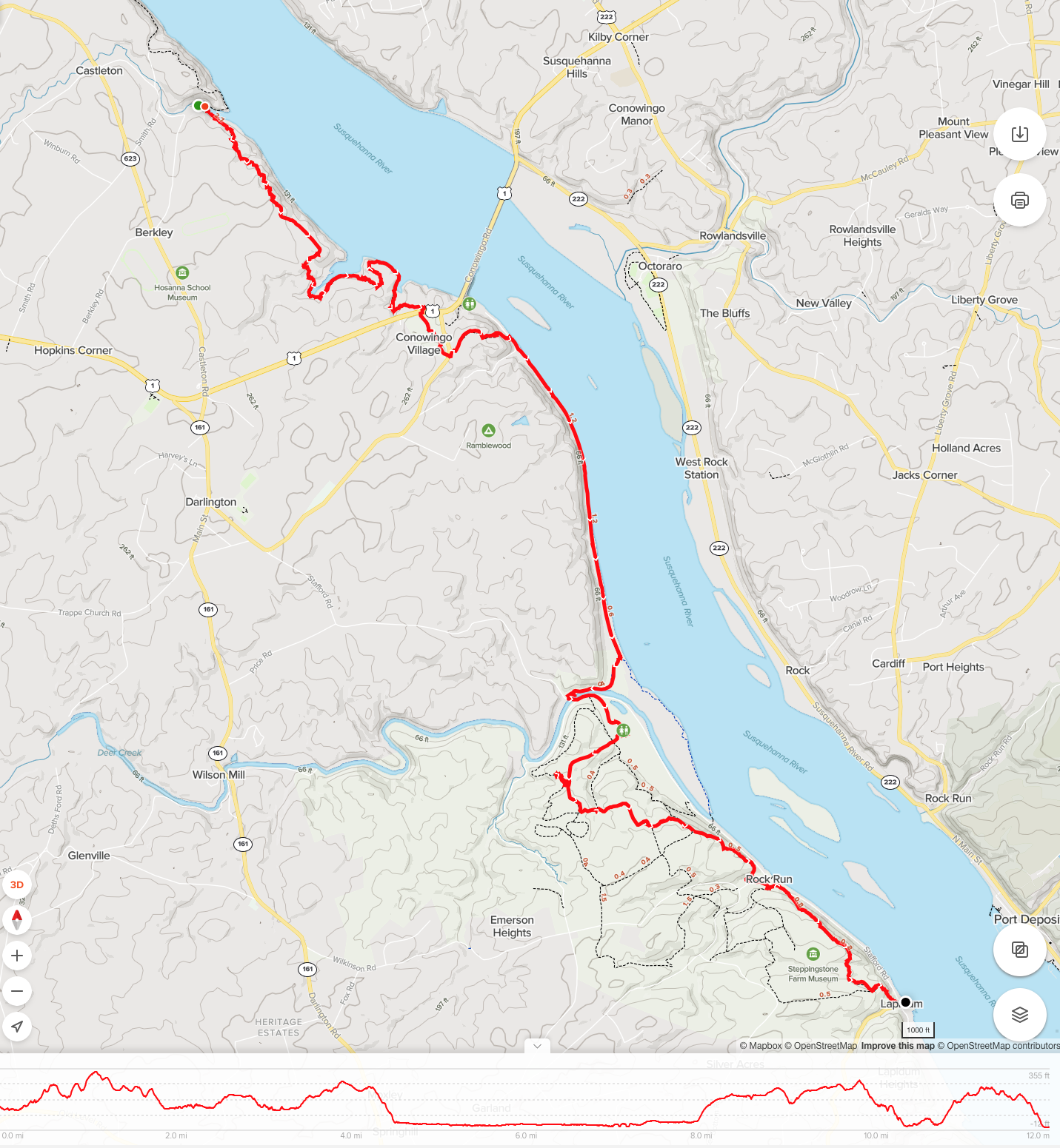
After reviewing several options for the hike, the scouts selected this portion of the Mason Dixon trail because of the parking access available at our starting and ending location. There is ample parking available at the Glen Cove Marina where we started as well as at the Lapidum boat launch where we finished the hike. Another advantage of this specific route included multiple points along the route where the trail is accessible by vehicle in the event a hiker is unable to finish the hike and required to be picked up by our safety driver. Accessible points along the route included the Conowingo Dam visitor center (~3 miles), the lower Conowingo Dam (~4.5mi), the Deer Creek Picnic area (~7.5 mi), and the Grist Mill (~ 10.5 mi).
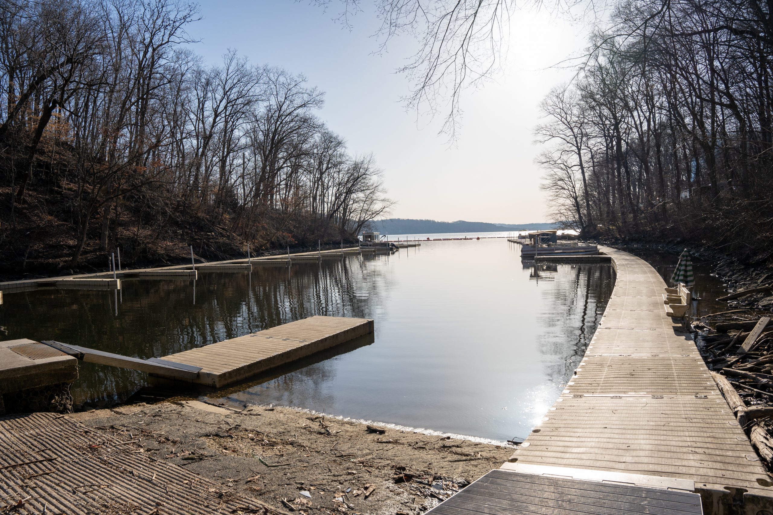
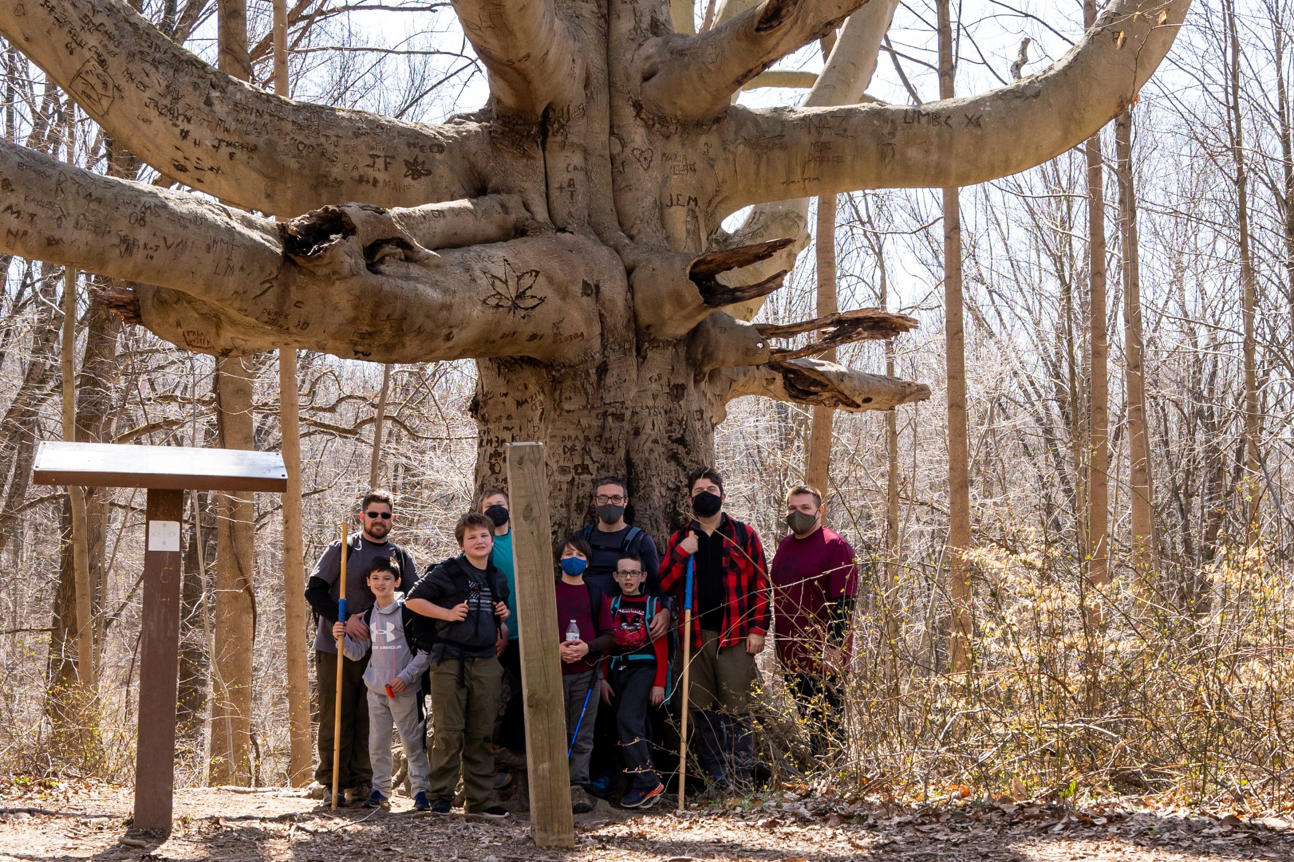
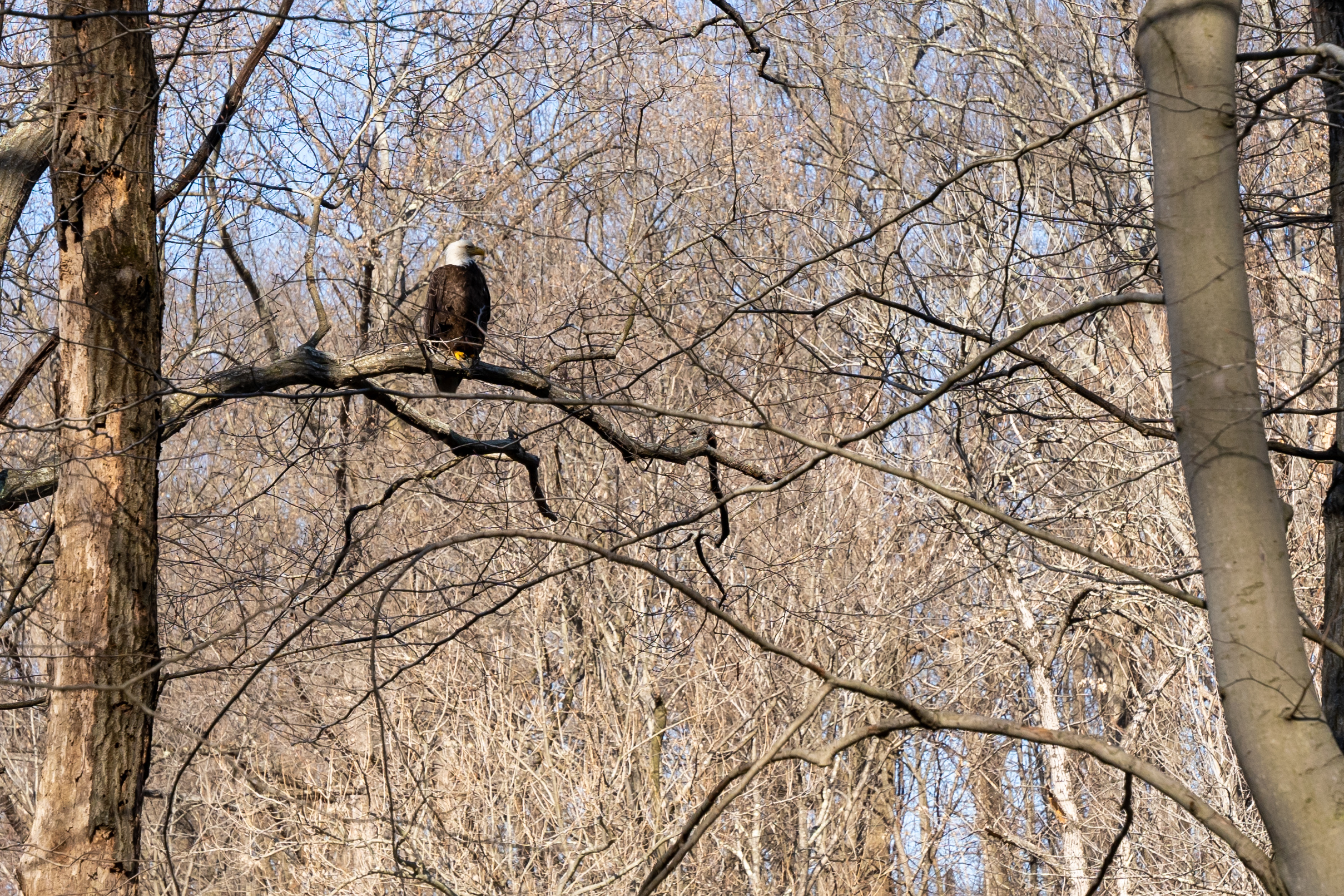
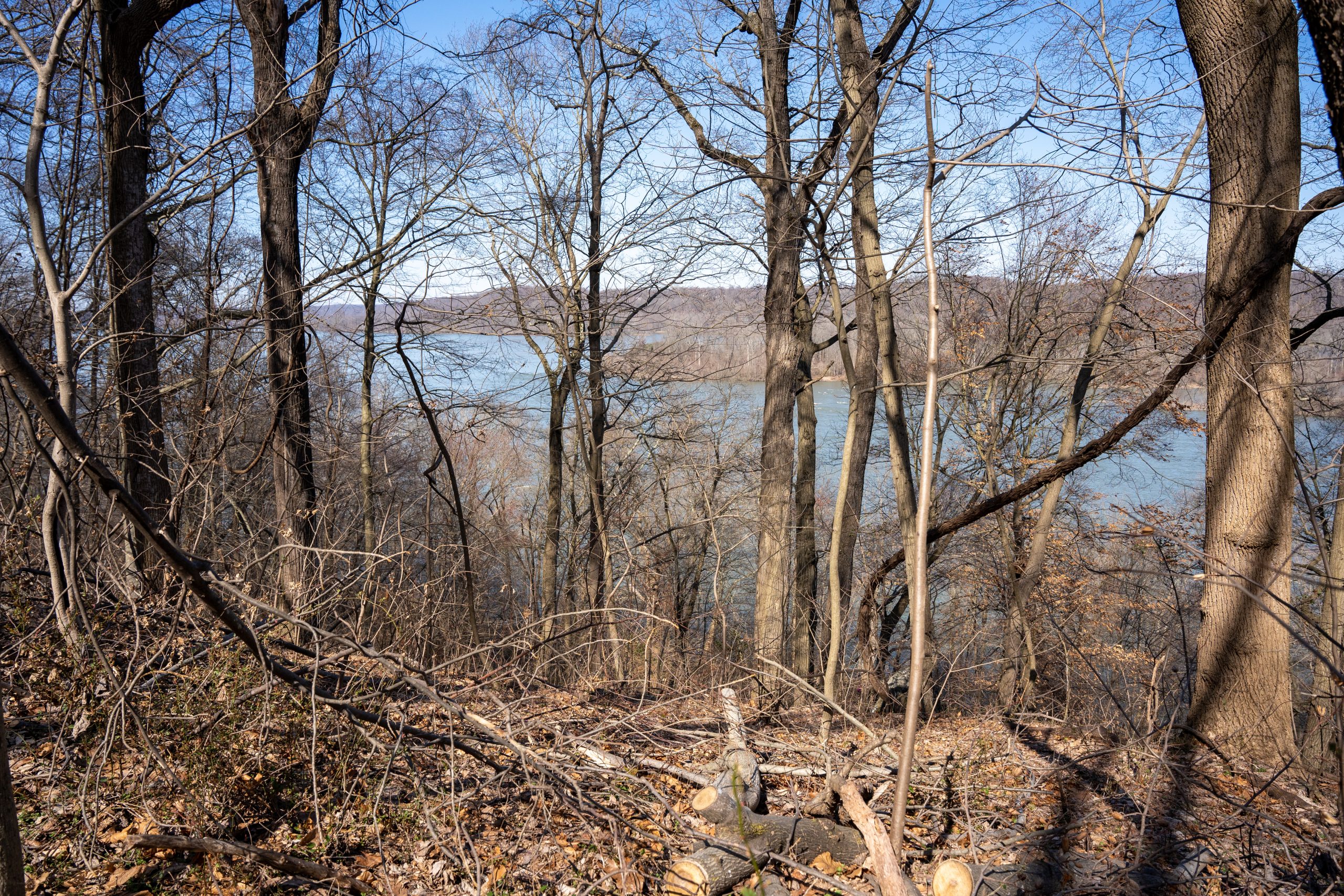
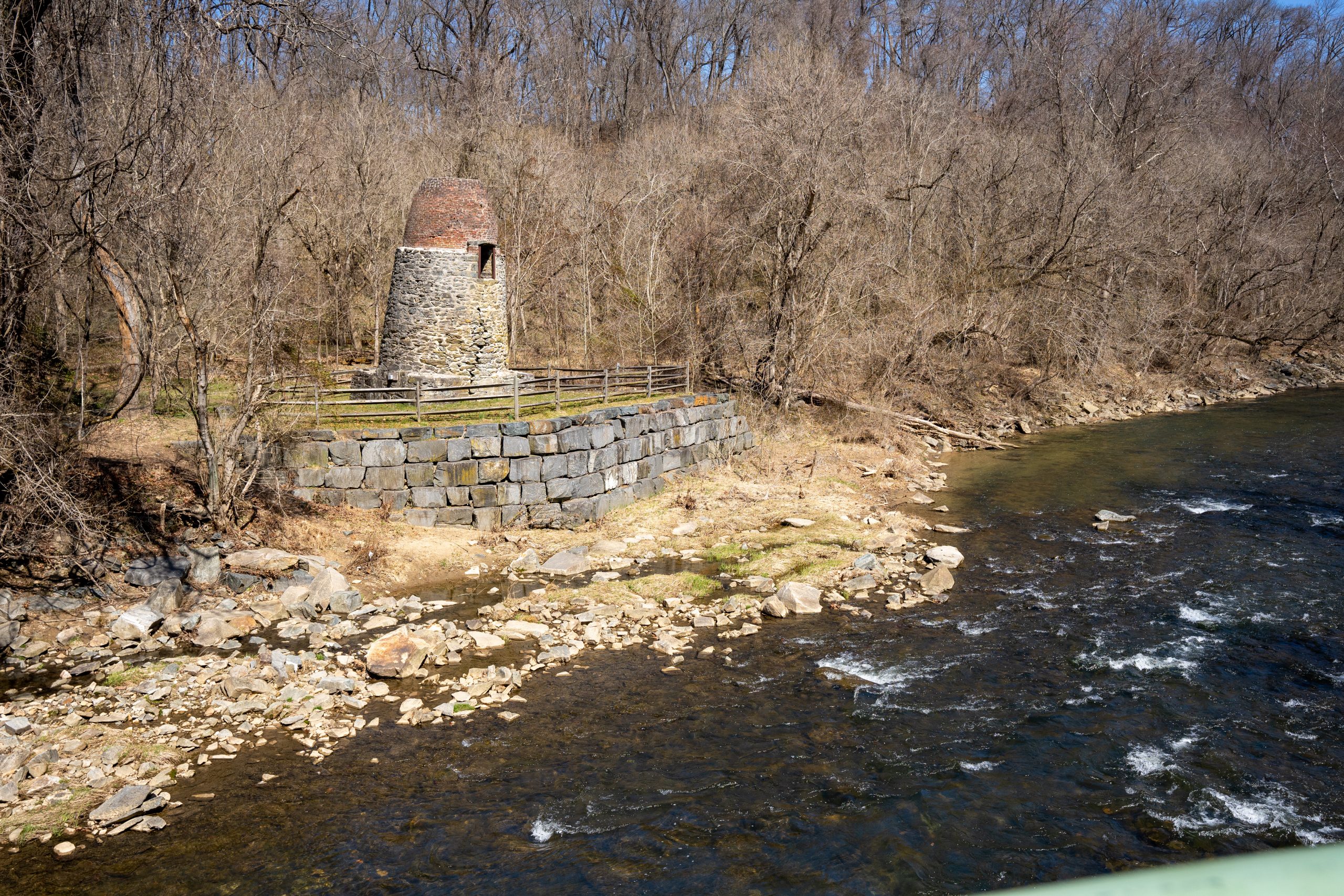
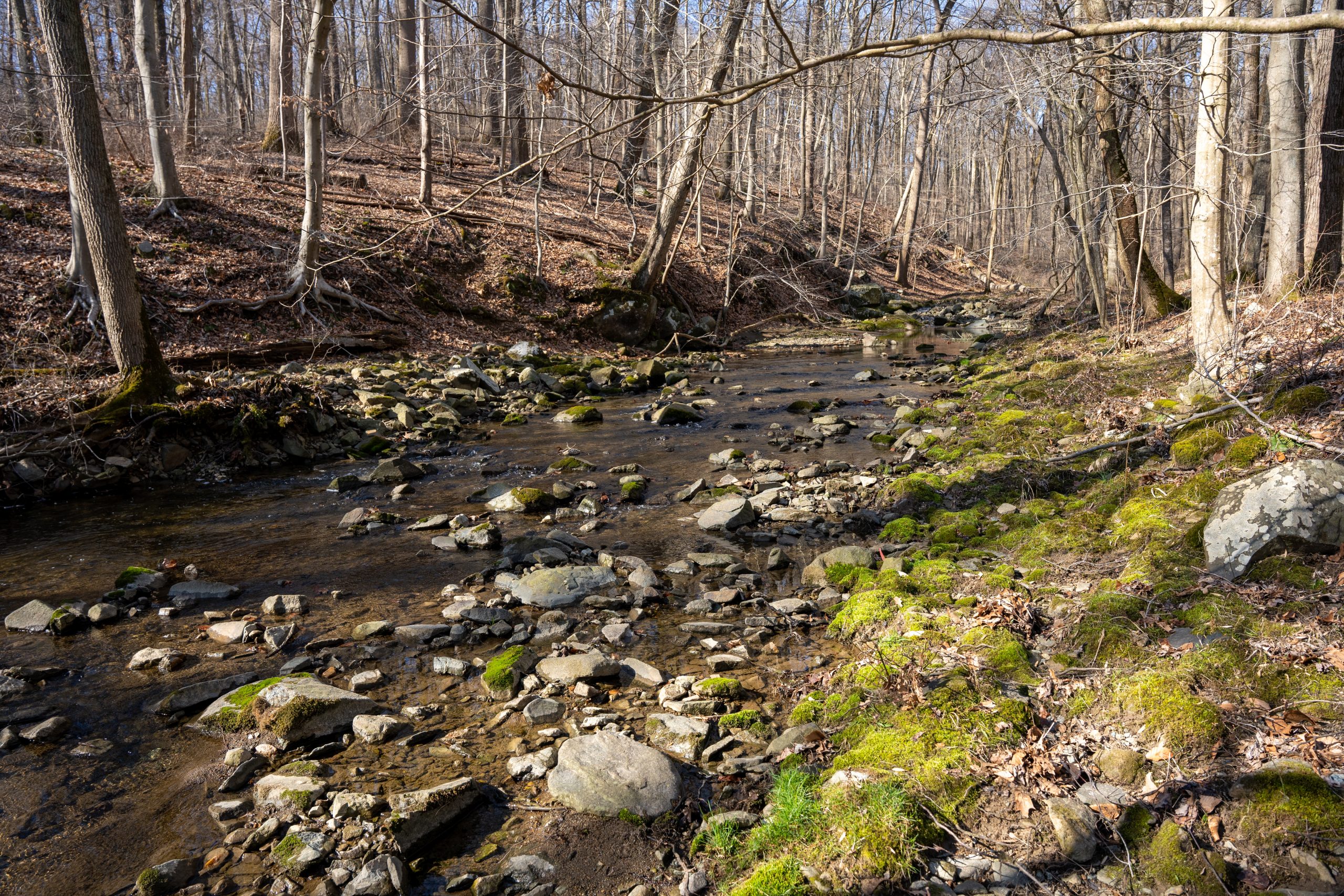
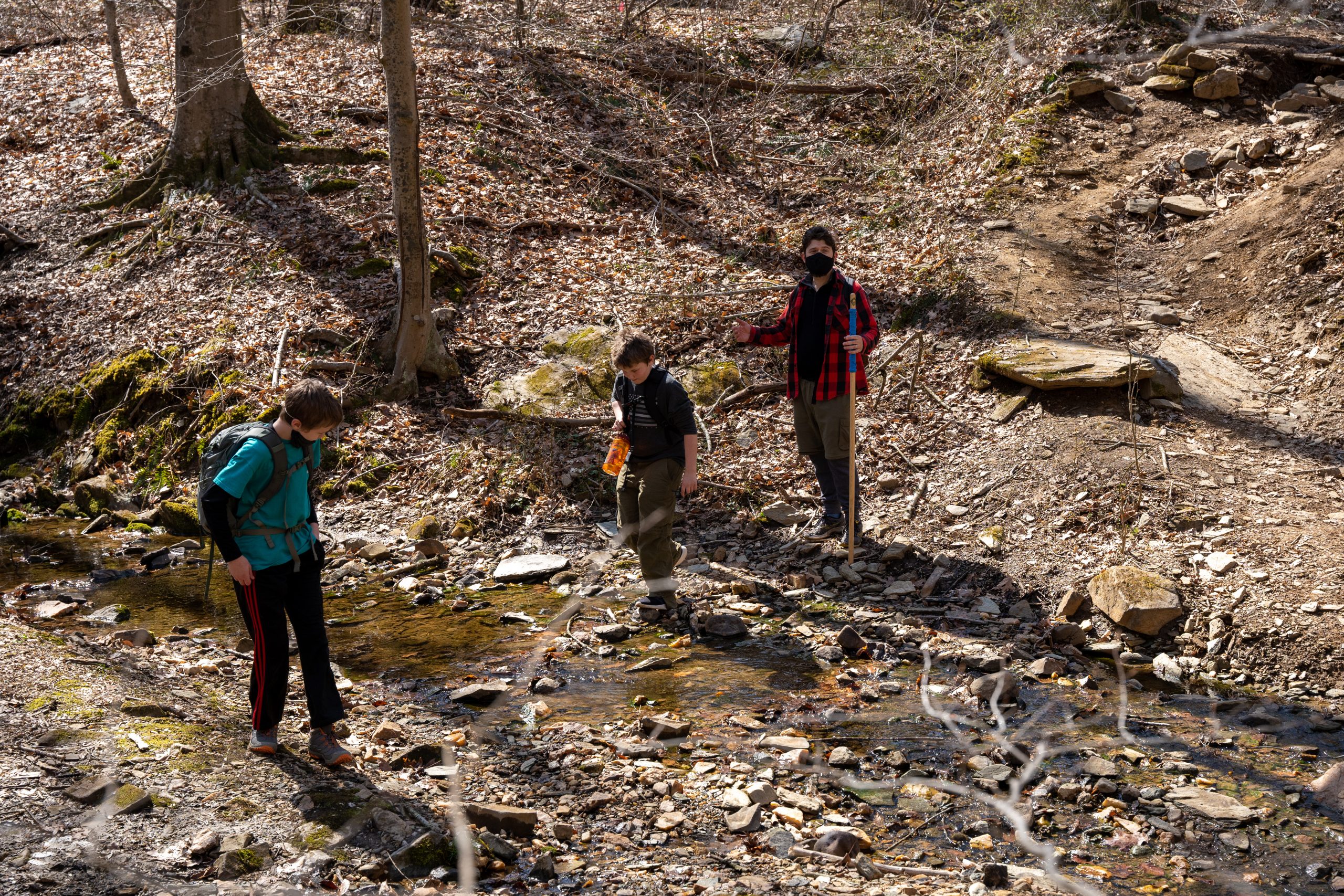
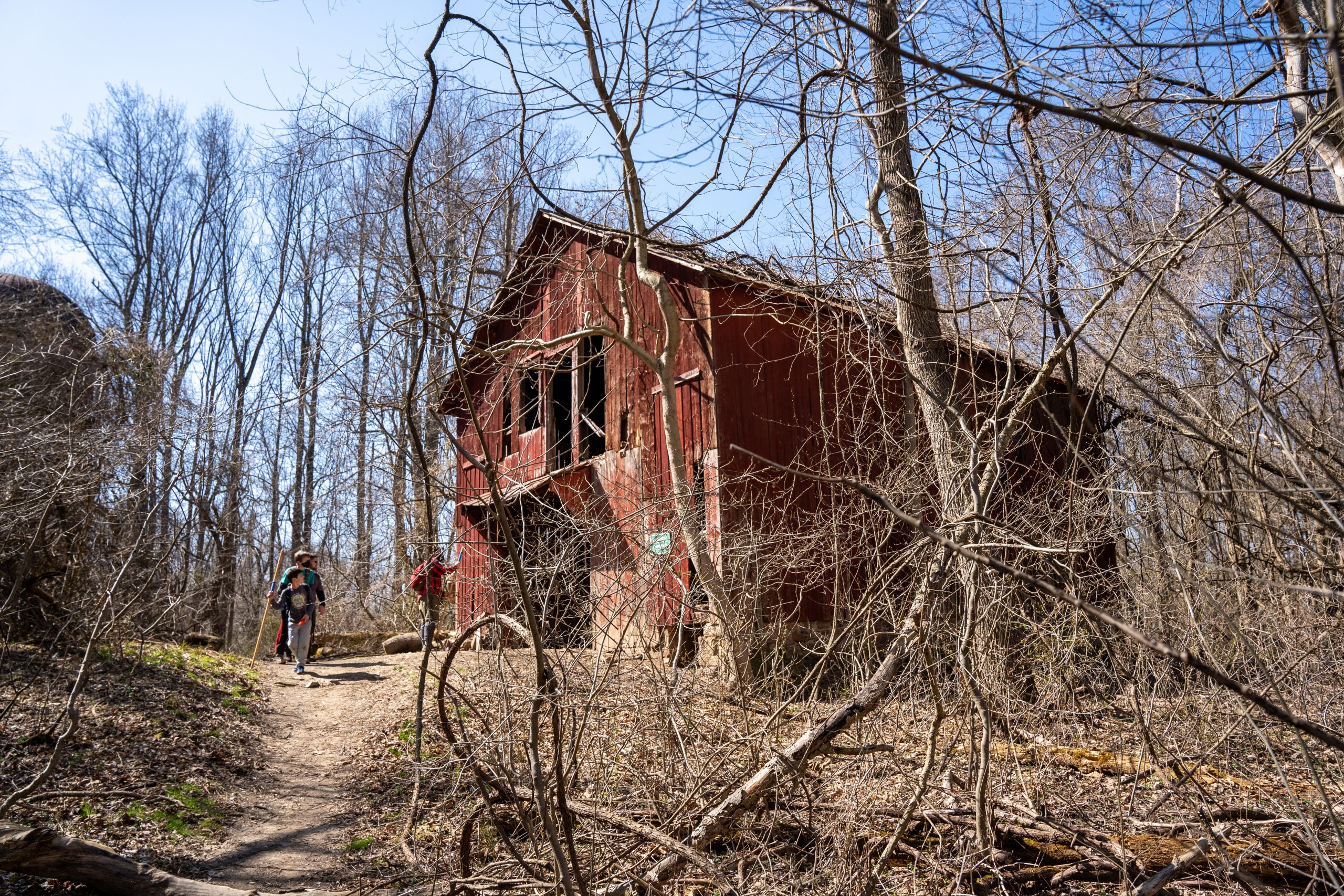
Another advantage of this particular section of the Mason Dixon trail is the variety of terrain available. The beginning portion of the hike from the marina to the Conowingo visitor center included some rolling terrain and included wooded trail, multiple creek crossings, and hike through an open field that flanks a horse pasture. Scouts were required to pass through a gate in the field as well as climb over a fence using a provided step ladder during this section of the hike. The trail also cuts away from the river in order to travel around a small inlet. In this section of the trail we saw a large bald eagle resting in a tree along the trail that was likely preparing to catch fish in the shallow inlet. The entire middle section of the trail from the Conwingo Dam to the Deer Creek picnic area is completely flat for approximately 3.5 restful miles. This section of the trail runs directly along the river and also features several small vernal pools where scouts were able to see bunches of amphibian eggs preparing to hatch. We departed from the official Mason Dixon trail to take our lunch break at the Deer Creek picnic area. From the picnic area, we resumed our hike along the deer creek loop trail and took a minor detour to visit the champion Beech tree located about 1/2 mile from the picnic area. After seeing the historic tree, we continued along the Farm trail which eventually tied back to the Susquehanna Ridge trail which the Maxon Dixon trail follows for the remainder of the hike. Other significant features along this portion of trail include the remnants of an old farm on top of the susquehanna ridge and the Rock Run Grist Mill.
It would be an understatement to say that our scouts were challenged to complete this hike but they were all proud of their accomplishment once complete. This hike would have been closer to 10 miles if we had not departed the Mason Dixon trail to visit the Deer Creek picnic area at lunch. This alternative route would have added an additional mile of nearly flat hiking to the middle section but would have also added a steeper ascent to climb from the river’s edge up to the ridge trail.
This hike could also be extended by approximately 3 miles to the North to make this a 15mile hike by starting at the Broad Creek public landing in lieu of the Glen Cove Marina. There is parking near the Broad Creek boat launch at the intersection of Paddrick road and Flintville Rd. Unfortunately, the hike is not easily extended to the South as the Mason Dixon trail departs Susquehanna State park via Lapidum Rd and requires walking along the shoulder of Lapidum Rd and Level Rd (route 155) for several miles.
